Looking at the Teaching in Higher Ed website analytics recently got easier for me for some reasons I won’t write much about here, lest I bore you. Since I can look at the data without as much friction, I check it more often and am often surprised by which posts from both long ago and recently got the most traction from readers.
Below are the posts that you may have missed that were particularly popular with Teaching in Higher Ed blog readers (in order):
- Heads Up Game is a Lively EdTech Tool – it still continues to be the case, four years later. And is the most accessed blog post I have ever written. If only I had known that would be the case, in advance, I would have taken more time with it.
- Active Learning Resources – A colleague is trying to build more of a culture of active learning so I curated some resources for her from the Teaching in Higher Ed site. Anyone interested in pursuing this aim should also read Josh Eyler’s post: Active Learning Has Become a Buzzword (and Why That Matters)
- How to Make a Seemingly Boring Topic Come Alive – Like the post I wrote on the Heads Up Game (#1), this 2014 post keeps coming up at the top of the analytics. If only the marshmallow study had held up as well. Sigh.
- How to Respond When Students Give Wrong Answers – I have regularly been told I do this well. I’ll take it, since there are so many other aspects of my teaching that I’m continually hard on myself about.
- Ways to Use Screencasting in Your Teaching – It has been fun to see the posts about creating content get some traction. We need to continually be working on doing this better.
- Surprises in the Classroom – This one sat on my blog post ideas for a long, long while. We don’t all have to be extroverted in our teaching or feel the pressure to be entertainers. However, regularly seeking ways to ignite curiosity in ourselves and our students is a vital practice, from my perspective.
- Listener Question: Essential Reading on Pedagogy – It is hard for me to ever write lists, for fear of all that I will leave out. But, this was my best attempt at the time to capture books that have transformed my teaching.
- Digital Reading – I continue to become more and more of a digital reader and have such a hard time ever committing the time to reading a physical copy of a book. This post outlines why that is…
- How to Create a Pencast – I haven’t been creating quite as many pencasts these days, but when I do – my workflow is still the same as what is described in this post and video.
- How to Create a Video for a Class – Speaking of videos, this post with advice on how to create these elements for our students attempted to break the process down into practical steps.
The most popular pages on the site, as a whole, continue to be:
- Episodes – the searchable, browsable list of all the past podcast episodes
- About – a newly redesigned about page with my bio, info about the podcast and my speaking, FAQs, and pictures.
- Blog – The browsable blog page with all the posts I have ever written for Teaching in Higher Ed.
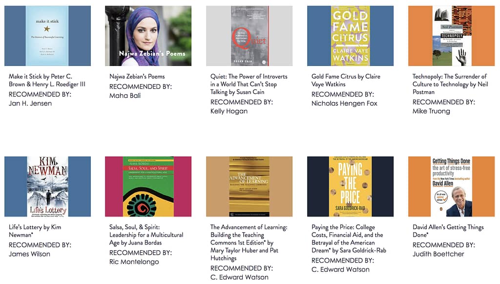
- Recommendations – a recent website redesign has us working on pulling out all the recommendations that have ever been made at the end of each episode into a browsable list with categories such as music, books, ideas, and technology. We aren’t finished yet, but what is there does make for some good inspiration.
I'm honored to get to be part of your professional development through the Teaching in Higher Ed community. I trust this post has given you an opportunity to catch up on some of the blog posts and web pages you may have missed.

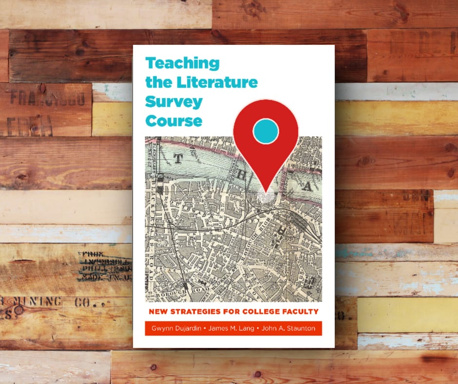
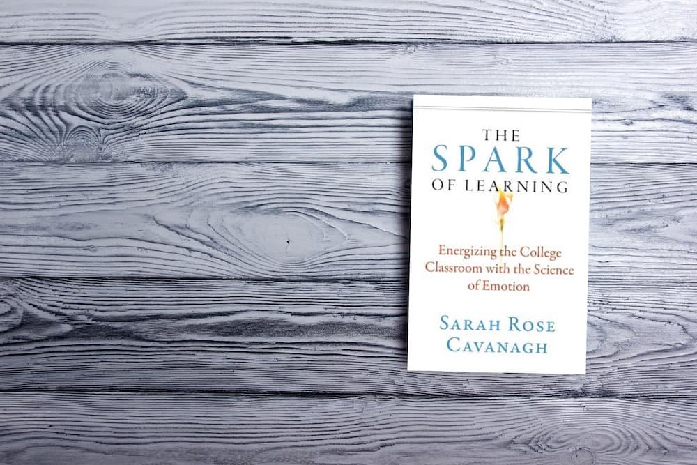
 If you also find yourself feeling like you have too much to cover in a given class, or you want to find ways to have your students experience deeper learning, it is worth picking up a copy of:

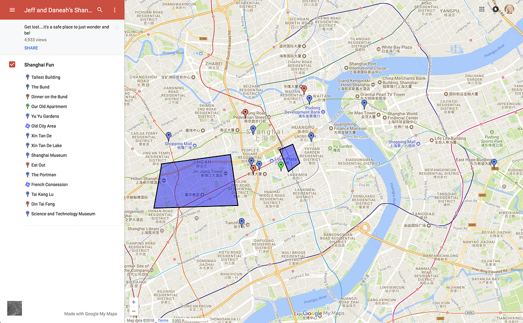
 Even book publishers are starting to make use of Google maps in their creations. We ordered